Digital Paths
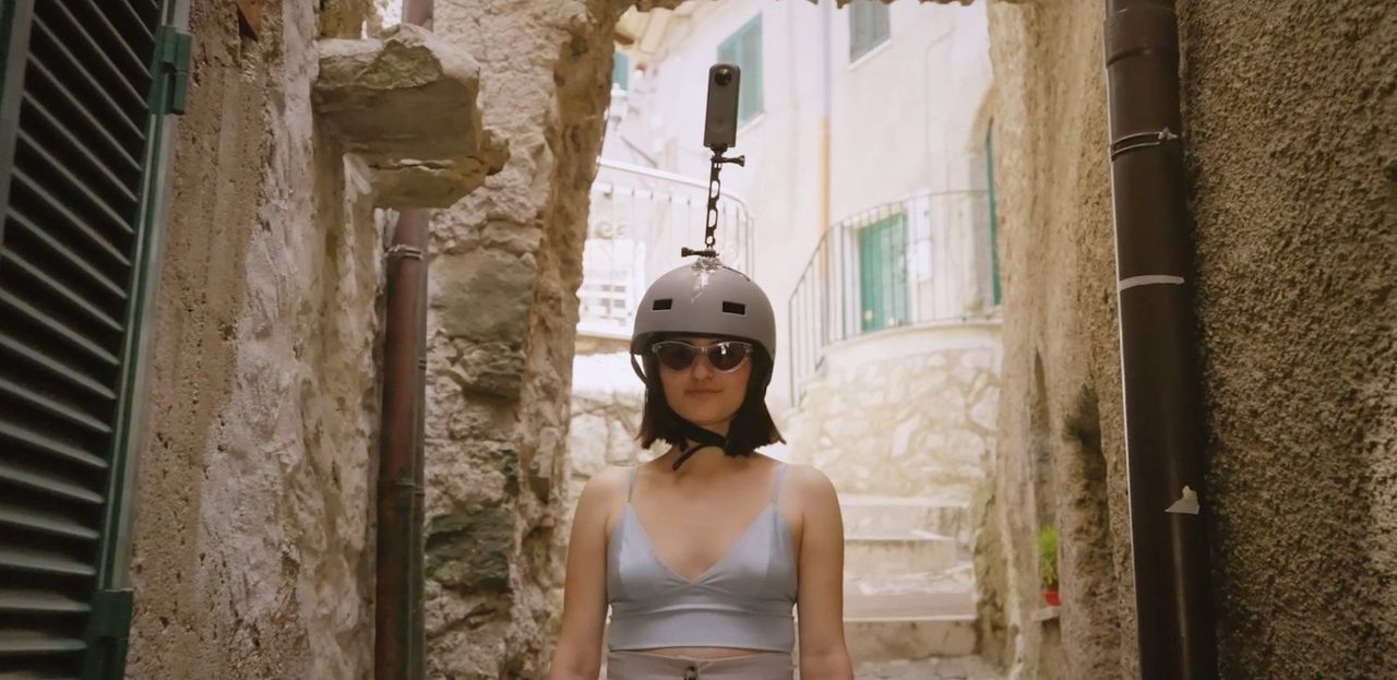
A participatory mapping initiative that uses 360° cameras to make dense historic centers navigable with digital way-finding platforms
Record classification
Attributes
- Planned
- Ongoing
- Complete
Summary
Digital Paths trained local young people and international students in digital mapping with 360° cameras. A free workshop led by Carmelo Ignaccolo, then a doctoral candidate at MIT, ran from July 17 to 19, 2023 in Capranica Prenestina and Guadagnolo; the group then mapped the historic centers of Castel San Pietro Romano, Capranica Prenestina, Guadagnolo and Rocca di Cave.
The Challenge mapped more than 10.5 km of streets that Google Maps and Street View did not yet cover, and the uploaded imagery passed 200,000 views within three months. Street geometries and high-resolution orthophotos of the four centers were updated on Google Maps, giving the towns a navigable digital presence and the participants practical skills in digital mapping and data handling.
References
- Carmelo Ignaccolo
- Gabriele Pizzi
- Loris Pergolini
- Adriana Giorgis
- Samantha Zhuang
- Juan Walker
- Stefano Rossi
- Bella Carriker
- Emily Zhang
- Agnese Mattogno
- Diana Puce
- Enrica Mariani
- Anastasia Zourou
- Finn Alessandro Lindstedt
- Alessandro Di Patrizio
- Elia Pergolini
- Libero Middei
- Nicoletta Mattogno
- Castel San Pietro RomanoLazio, Italy
- Capranica PrenestinaLazio, Italy
- GuadagnoloLazio, Italy
- Rocca di CaveLazio, Italy
Reports