Shaping the Ground
Mapping the fruit tree biodiversity of transitioning landscapes
Read on Zenodo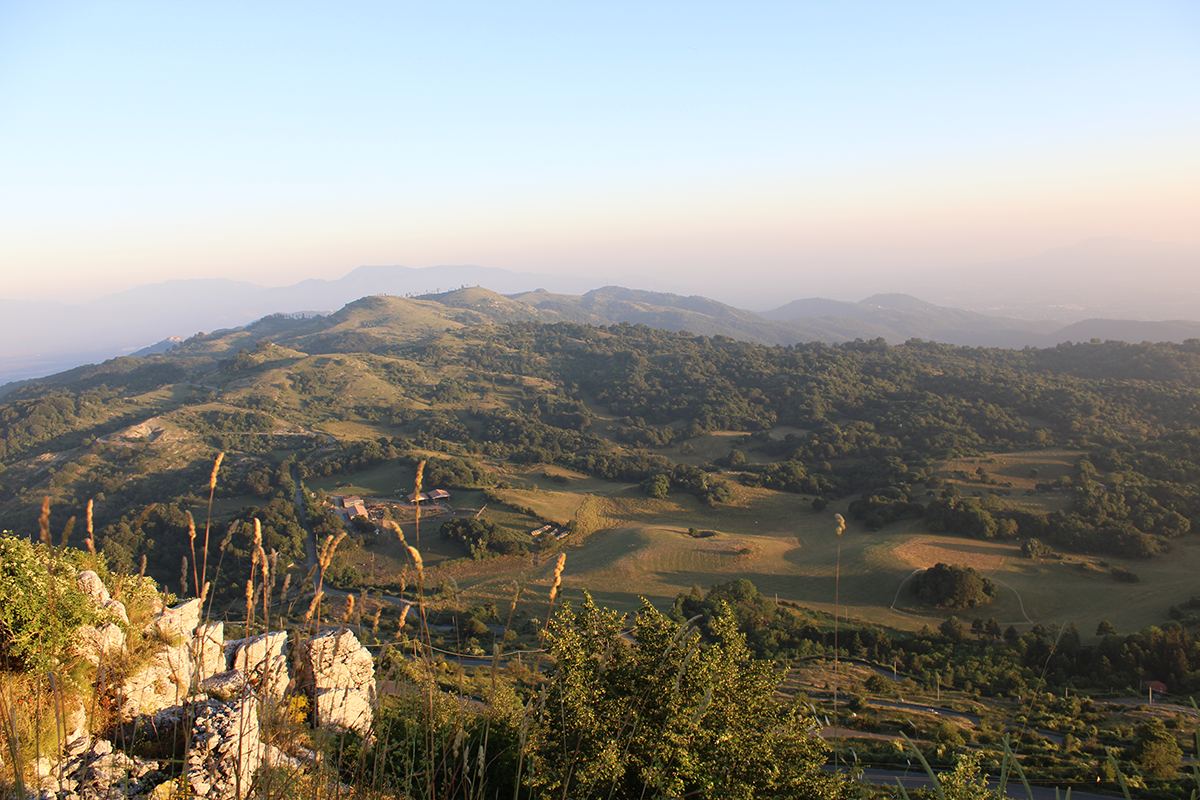
Record classification
Attributes
- Planned
- Ongoing
- Complete
Summary
Shaping the Ground was a 2024 action-research Challenge in Monti Prenestini (Lazio, Italy) that prototyped a replicable method for mapping fruit-tree biodiversity in transitional agricultural landscapes: the first concrete step toward a territorial laboratory envisioned in Transitioning a Landscape. It ran from September 30 to October 31, 2024, with 6 days on the ground.
The Challenge progressed through four phases—tool design, pilot field testing, a landscape enhancement exercise with Landscape First, and data processing—and focused on learning, documenting, and stewarding tree resources with farmers and local associations. Its toolkit comprises: (i) a specification sheet for describing species and cultivars; (ii) a smartphone-based digital form for georeferenced, image-rich specimen records; and (iii) an executive summary of arboricultural techniques to support participatory surveys.
Applied across discontinuous plots in the municipalities of Castel San Pietro Romano, Capranica Prenestina, and Rocca di Cave (sample area 9.3 ha), the pilot mapped 542 trees spanning 19 species, revealing distribution patterns, management histories, and the strategic role of field margins. The work connects to the Region of Lazio's stewardship pathways (e.g., ARSIAL and the Voluntary Regional Register of Plant Genetic Resources: RVR), positioning fruit-tree biodiversity as a lever for identity-driven rural regeneration.
References
- Ginevra D’Agostino
- Nicolás Delgado Alcega
- Gaël Glaudel
- Natasha Balwit-Cheung
- Dipon Bose
- Justin Cheung
- Alessandro Gori
- Maren Louttit Johnson
- Lindsay Lebel
- Silvia Pennisi
- Castel San Pietro RomanoLazio, Italy
- Capranica PrenestinaLazio, Italy
- Rocca di CaveLazio, Italy
Protocols
Press articles