Weaving Urban Data
How participatory mapping can lay the foundations for Smart Villages
Read on Zenodo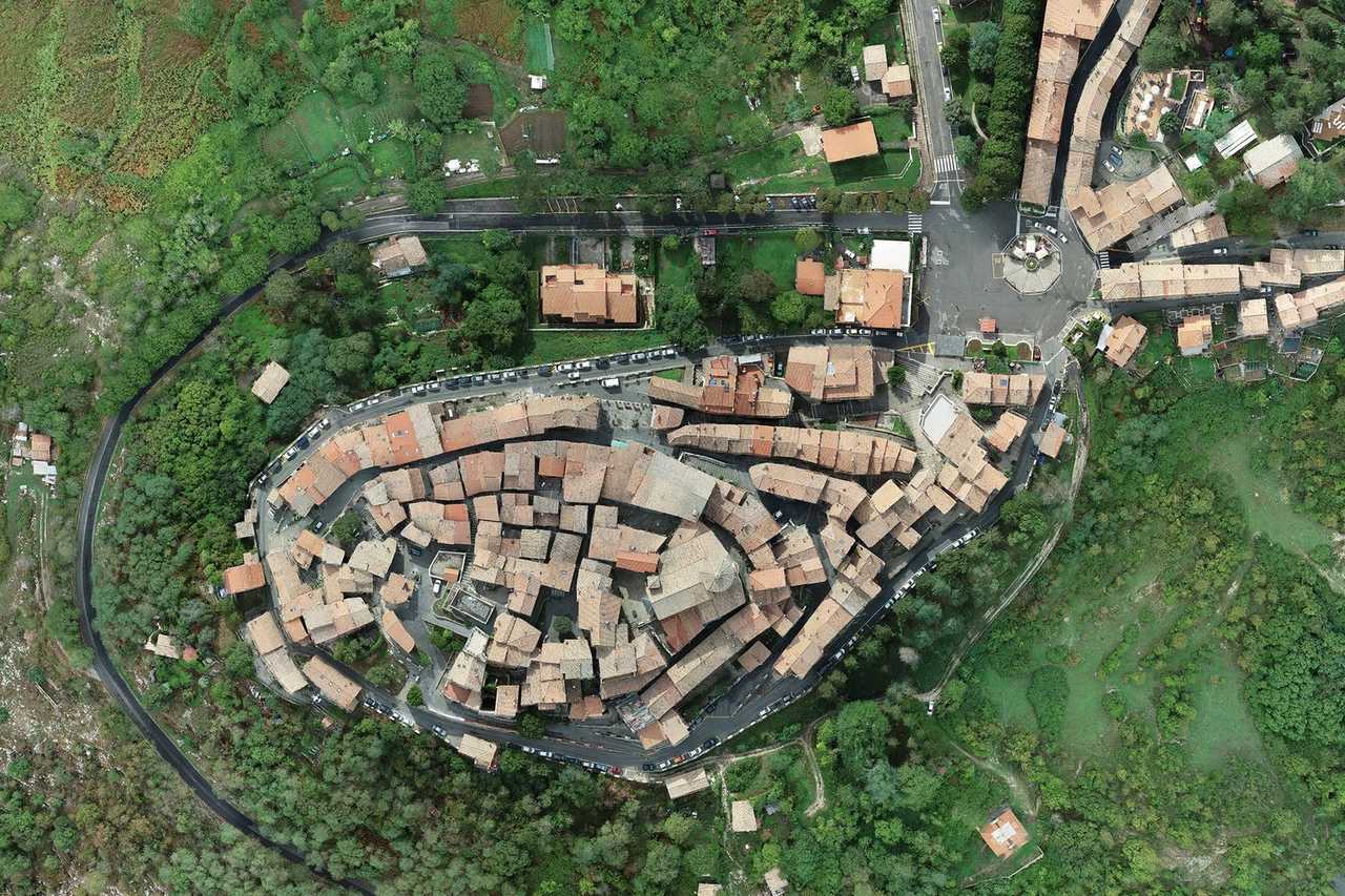
Record classification
Attributes
- Planned
- Ongoing
- Complete
Summary
Weaving Urban Data was a 2024 action-research Challenge in Monti Prenestini (Lazio, Italy) that developed and field-tested a scalable, smartphone-based workflow to increase the availability and accuracy of geospatial data in historic centers and small towns, laying foundations for future Smart Villages services. It ran from August 5 to August 30, 2024, with 6 days on the ground.
Working across Capranica Prenestina, Castel San Pietro Romano, Rocca di Cave, and the hamlet of Guadagnolo, the team verified and updated 1,145 addresses (including 428 new) and mapped 11.28 km of streets, achieving 100% coverage of road-traffic metadata in ZTOs A and B and an estimated +70% increase in available address data. Results were validated and uploaded through Liminal’s Google Maps Content Partners accreditation to directly improve navigation, logistics, emergency access, and visitor wayfinding.
Methodologically, the Challenge produced: (i) a lightweight data-collection protocol (text-only forms) linked to volumetric units and street IDs; (ii) a Python geocoding pipeline that relocates address points to correct building frontages; and (iii) a feasibility and prioritization framework (impact-effort matrix) to scale similar digitization efforts nationally.
References
- Ginevra D’Agostino
- Gabriele Pizzi
- Viola Baldassarre
- Gauri Bahuguna
- Melissa Berlin
- Nicolás Delgado Alcega
- James Piacentini
- James Yardley
- Castel San Pietro RomanoLazio, Italy
- Capranica PrenestinaLazio, Italy
- GuadagnoloLazio, Italy
- Rocca di CaveLazio, Italy